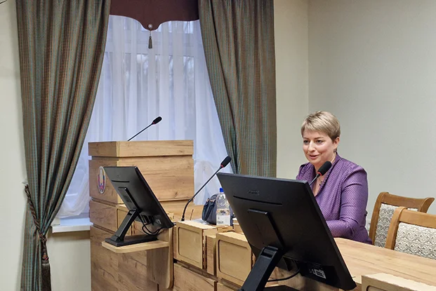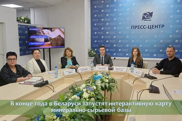
In order to have prompt, accessible and up-to-date information on the state of the mineral resource base, the country has begun developing an interactive map on behalf of the Council of Ministers and the Ministry of Natural Resources and Environmental Protection. The system is currently undergoing test operation and will be launched in the public domain by the end of the year. Marina Vasilyuk, Director of the Republican Unitary Enterprise “Belarusian State Geological Center”, spoke about this in more detail at a press conference in the House of Press.
“The system will allow selection of various subsoil areas based on various criteria, displaying them on a cartographic basis and automatically generating analytical reports on the state of the selected objects or the state of the mineral resource base of the selected region,” noted the head of the Belarusian State Geocentre.
According to her, this will be another tool for quickly obtaining geological information, necessary for making management decisions in the field of geological exploration of subsoil and subsoil use, development of the mineral resource base. The system will be useful for subsoil users who are interested in developing deposits.
“I will not exaggerate if I say that professional collection, storage, analysis and provision of information about this wealth in the subsoil largely determines the successful development of the country’s economy,” said Marina Vasilyuk. “The Belarusian State Geocenter has been solving these problems for 15 years now. In general, the state system for collecting, storing and providing geological information has been created in the country for more than 85 years, the beginning was laid in 1936. But the system that was put together over many years ceased to meet the needs of society and the state in efficiency, and began to yield to modern trends in technical development. Therefore, digitalization also concerns the geological industry.”
Thus, the enterprise has developed and today successfully operates an automated “Unified Information System of Geological Information”, which allows for the recording of all identified objects in the subsoil, their technical and quality characteristics, and also contains a register of all geological information available in the state geological fund, which is serviced by the Belgosgeocenter.
Today, the State Geological Fund stores about 20 thousand reports compiled based on the results of work carried out in the subsoil. The electronic archive includes slightly more than 5 thousand reports, the oldest is dated 1881. A lot of work is underway to ensure long-term storage of Gosgeolfond information. Materials available only on paper are converted into electronic form by scanning.
It is worth noting that automated information systems are publicly available – both the subsoil cadastre, and the water well accounting system, and the Gosgeolfond database. Improving the process of digitalization of the geological industry, the module “Personal account of the subsoil user” was created – it allows you to provide and request geological information in electronic form.
Materials from sb.by


